Perfect 3D datasets for any simulation of wireless signal propagation
Not only comply with many telecommunication operators' standard, thanks to its high-accuracy, it is also applicable for any other signal propagation analyses such as car-to-car communication in a self-driving system.
We provide a complete datasets optimized for those purposes, including height values acquired from high-resolution satellites, and land usage classification based on sensors etc..
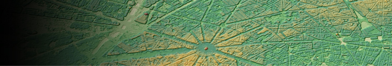
3Dvector and Ortho imagery (Chicago)
-
High-accuracy, low-cost, wide-coverage
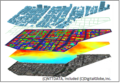
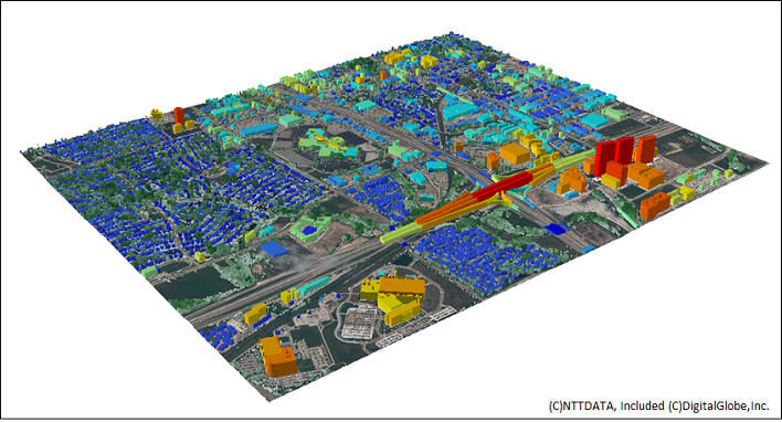
Sources from multi imageries enable the highest accuracy including vector data of buildings, vegetations, and bridges which is required in signal propagation analysis.
Also including vector data of heights, land use clasifications, and elevations. -
Best-fitted with most signal propagation simulation tools
verified compability with many industry standard simulation tools.
Makes it possible to achieve highest simulation performance in analysis.
3D vector data
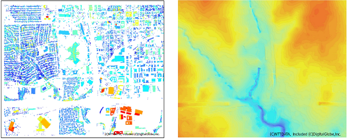
DLU(Digital Land Use Map)

Left: DHM (Digital Height Model) Right: DTM(Digital Terrain Model)
Details
| Product Type | Vector data, Raster data |
|---|---|
| Satellite | Maxar Technologies - WorldView etc |
| Area | On demand |
| Horizontal Accuracy | 2m RMSE(3D Building) |
| Vertical Accuracy | 1-2m RMSE(3D Building) |
| Minimum Order Size | 25km2 |
| Delivery Formats | Vector data: Tab format(.tab), Shape format(.shp) etc Raster data: Bil, GeoTiff etc |
| Delivery Method | Online or Media (DVD) |