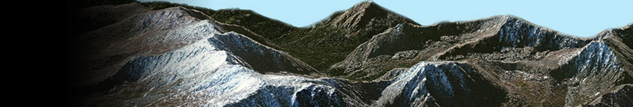
Digital Elevation Model (DEM)
“Digital Elevation Model” is a three-dimensional numerical representation of a terrain’s surface. The term DEM is frequently used as a generic term for both DTMs and DSMs.
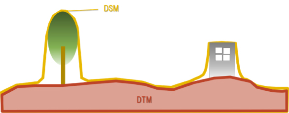
Digital Surface Model (DSM)
The term “Digital Surface Model” (DSM) represents the earth surface and includes all artificial structures, vegetation, and other features (objects) on it.
※Click following to purchase DSM products
AW3D Standard DSM data
AW3D Enhanced DSM data
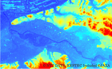
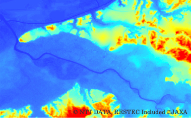
AW3D Standard 5m resolution DSM (Chiba, Japan)

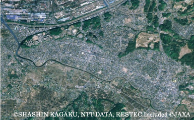
Ortho imagery for reference (Chiba, Japan)
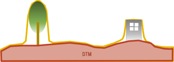
Digital Terrain Model (DTM)
The term “Digital Terrain Model “(DTM) represents the bare ground surface without any features (objects) including buildings and vegetation.
※Click following to purchase DTM products
AW3D Standard DTM data
AW3D Enhanced DTM data
AW3D Telecom 3D dataset
AW3D Standard 5m DTM Level-3 (Chiba, Japan0
Ortho Imagery for reference (Chiba, Japan)
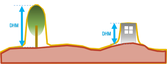
Digital Height Model (DHM)
The term “Digital Height Model” (DHM) represents the height of features (objects) such as vegetation and artificial structures.
※Click following to purchase DHM product
AW3D Telecom 3D dataset
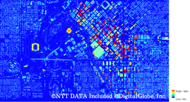
AW3D Telecom 3D data 2m DHM (Denver, CO)
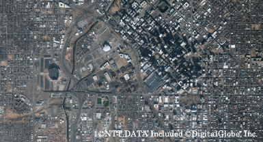
AW3D 50cm Ortho Imagery (Denver, CO)
Digital Land Use map (DLU)
The term “Digital Land Use” / “Digital Land Use map” (DLU) represents a classification map that shows types of land usage, such as buildings, inland-water, roads, and so on.
※Click following to purchase DLU product
AW3D Telecom 3D data
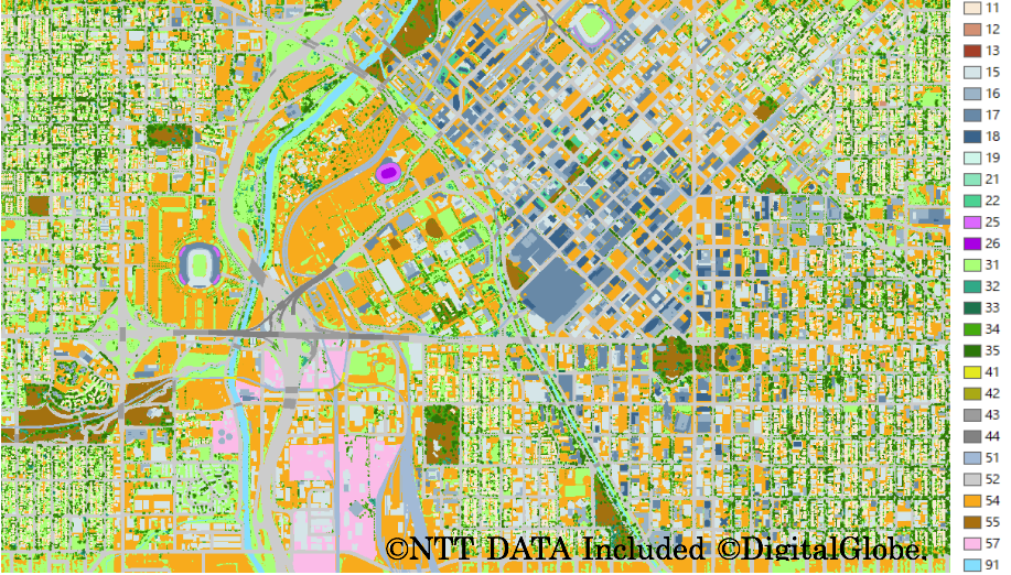
AW3D Telecom 3D data 2m DLU(Denver, CO)
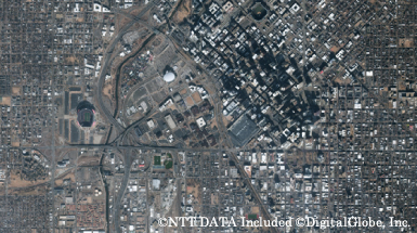
AW3D 50cm Ortho Imagery (Denver, CO)