2019.07.01
NTT DATA and RESTEC Launch AW3D Full Global 3D Map with 2.5-meter Definition
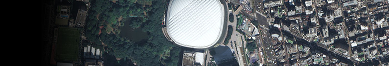
"AW3D Standard (2.5m resolution)" Now Available
Tokyo, July 1, 2019 – NTT DATA, a leading IT services provider, and Remote Sensing Technology Center of Japan (RESTEC), the heart of the remote sensing industry, announced today that they have begun selling AW3D Standard (2.5m resolution), a highly precise, pre-produced digital-elevation-model 3D map of the world.
This latest version of AW3D Standard, which offers 2.5-meter resolution for extra-detailed expression of cities and terrain, will be utilized for a wide variety of global applications. NTT DATA and RESTEC will use AW3D Standard (2.5m resolution) to provide clients with value-added information for urban planning, disaster-damage forecasting, and much more, including customized maps for specific locations and purposes.
See more at following pages.
NTT DATA:https://www.nttdata.com/global/en/media/press-release/2019/july/ntt-data-and-restec-launch-aw3d-full-global-3d-map
RESTEC:https://www.restec.or.jp/en/notice/8322