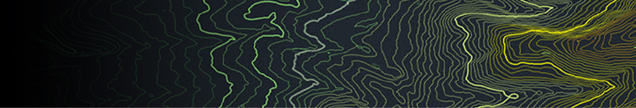
【Pipeline】The Grand Erg Desert, Algeria| AW3D Enhanced DTM (1m) , AW3D Ortho (50cm), Contour Line (1m)
Pipeline Routing Selection in the Grand Erg Desert, Algeria
JGC Algeria S.p.A
JGC Algeria S.p.A (“JGC”), one of the biggest oil and energy companies in Algeria and North Africa, leveraged AW3D products to optimize the pipeline ROW.
Reasons to Use GIS Data:
The use of GIS data was chosen by JGC rather than the classic topographical survey on site to cope with the tight schedule of the project and the particularity of the geographical area in the middle of the Grand Erg Desert with 3 different remote locations where are no access road, large sand dune, is and areas are not covered by the mobile network.
The satellite images and DTM data were used to select the most appropriate pipeline routings for the large pipeline network (around 700 km) and the selection of manifolds positions and road access network for the preparation of pipeline route map, road map, generate pipeline alignment sheet and roads profile drawings using GIS and CAD software.
GIS data has been used effectively during the project lifecycle in dealing with the various changes, such as, the change in wellhead location requires rerouting the pipe and generating a new alignment sheet, which has enabled immediate decisions to be taken and save additional time and costs compared to the traditional topographical survey.
Why AW3D:
AW3D was selected due to the high resolution and accuracy of its product. As well, the proposed delivery schedule was acceptable and within the overall project milestones. In deed, all products were delivered in 6 weeks from the date of placing an order as they committed in advance.
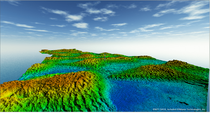
3D View of AW3D Enhanced DTM (1m)
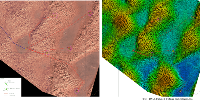
(Left) AW3D 50cm Ortho (Right) AW3D Enhanced 1m DTM
Cooperation/Reference/Data source
JGC Algeria S.p.A
https://www.jgc-algeria.com/