
【Agriculture】Egypt|AW3D Enhanced DTM (0.5m/1m), AW3D Standard DTM (2.5m)
Agricultural Land Consolidation and Irrigation along the Nile River in Egypt
World Food Programme (WFP) Egypt
Increasing agricultural productivity in Egypt is an essential topic to improve lives and livelihoods, and flourish Egypt. World Food Programme Egypt works on the programs supported by the government of Egypt to improve the socio-economic situation in 60 villages in Upper Egypt.
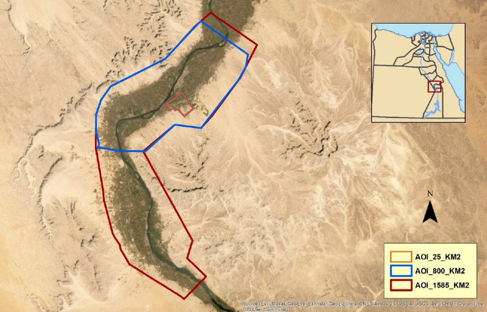
As one of the most important demonstration projects in the programs is for agricultural land consolidation and irrigation in Boghdadi village in Luxor governorate, Egypt along the Nile River.
To design irrigation facilities in the project, high-quality and accurate terrain data is essential. However, the terrain data was not well prepared in particular rural areas in Egypt, and it takes enormous cost if it is prepared by LiDAR or plane survey. Furthermore, GIS experts were limited in those areas.
To solve the issues of lack of data and the limited experts, AW3D was selected because of the following reasons.
- Competitive price compared to other survey methods
- Customizability (water flattening and hydro enforcement) to simulate water flow accurately
- Capacity building offered aligned with an expert
As a result, World Food Programme was able to help implement a successful agricultural land consolidation planning and irrigation demonstration project and established evidence-based decision-making to support the projects in the other 60 villages in Egypt.
We will continue to support users with AW3D products and capacity building to establish a better society. Please contact us for more detail.
Implementing Integrated Geospatial tools for territorial planning - case of Bogadai village, Luxor Governorate, Egypt
Cooperation/Reference/Data source
World Food Programme (WFP) Egypt
https://www.wfp.org/